Note
Go to the end to download the full example code.
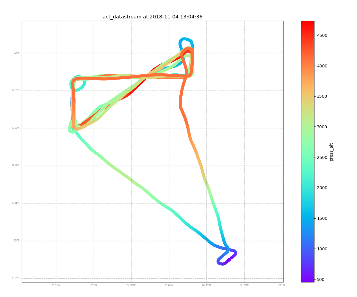
Plot ARM AAF Flight Path#
Plot the ARM AAF flight path using the GeographicPlotDisplay
Author: Joe O’Brien
import matplotlib.pyplot as plt
from arm_test_data import DATASETS

import act
from act.io.icartt import read_icartt

# Call the read_icartt function, which supports input
# for ICARTT (v2.0) formatted files.
# Example file is ARM Aerial Facility Navigation Data
filename_icartt = DATASETS.fetch('AAFNAV_COR_20181104_R0.ict')
ds = read_icartt(filename_icartt)

# Use GeographicPlotDisplay for referencing.
# NOTE: Cartopy is needed!
display = act.plotting.GeographicPlotDisplay(ds, figsize=(12, 10))

# Plot the ARM AAF flight track with respect to Pressure Altitude
display.geoplot('press_alt', lat_field='lat', lon_field='lon')

# Display the plot
plt.show()
Total running time of the script: (0 minutes 0.633 seconds)